JohnsonBunch.freeservers.com
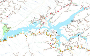
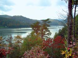
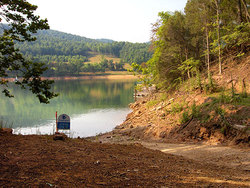
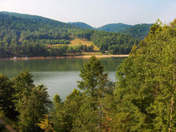
Watauga Lake in northeast Tennessee
THE TOWN THAT WOULDN'T DROWN
The town of Butler, Tennessee experienced devastating floods in 1867, 1886, 1901, 1902, 1916, and 1924. In 1940 a tropical hurricane caused 15 inches of rain to fall. Many homes were carried away and 147 others were flooded. The railroad bridges were destroyed once more and never rebuilt.
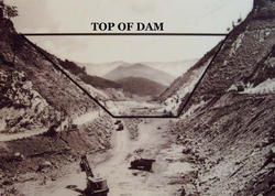
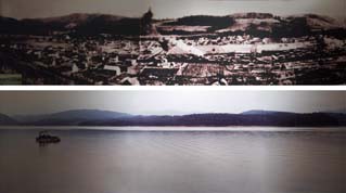
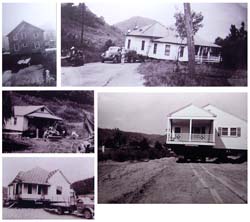
In 1942, the Tennessee Valley Authority purchased land along the river's shores and began construction on Watauga Dam to control the frequent flooding and to use the power of the water for electricity. Work on the dam was completed in 1948, and the gates were closed, forming Watauga Lake which soon filled and covered what was once the town. Approximately 500 to 600 residents had to move. Many had their homes moved to higher ground on what became the new Butler. The original town remained underwater until 1983, when a draw down of the lake uncovered the remains of the town for a brief time, allowing former residents to visit the site. Stone foundations from the old buildings were visible. Draw downs are scheduled every 30 years to check the structual integrity of the dam beneath the water line.
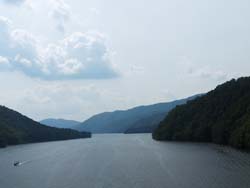
Watauga lake sits amongst the Appalachian mountains near the North Carolina border at 1965 feet above sea level. The lake depth is over 300 feet nearest the dam, and well over 100 feet at the middle of its branches. "Watauga" is indian for broken glass, named for its jagged appearance between mountains.
(Historical photos are from the Butler Museum.)
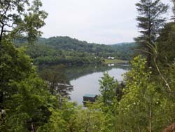
Sugar Grove Church Road property in spring.
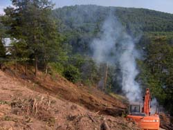
The property being cleared.

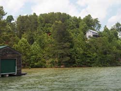
The girls jump from the remnants of what was once the boathouse.

Tubing by Sugar Grove Church.
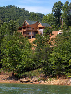
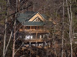
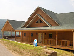
Rear view of the first house we built from the lake. The lower level and pillars will be faced in stone. The house we plan to live in will be further to the right where the RV is parked. Remnants of our old dock still remain.

The kitchen features stainless steel appliances and is plumbed for a gas or electric range.
A path from the properties leads to this private cove with a concrete boat ramp and room for a dock.

